Licensed Civil Engineers · Mid-Atlantic Field Crews Trimble · Topcon · Leica Ready

Bridging the Gap from Civil Site Design to Field Construction

Professional engineers and experienced field crews delivering GPS machine control modeling, construction surveying, value engineering, and BIM utility coordination across PA, DE, NJ, MD, and VA.

Established 2007 · Licensed PE in 8 States · Over 35 Specialists · Thousands of Projects Completed
Universal Field Integration: Trimble Earthworks Topcon 3D-MC Leica iCON Autodesk Navisworks
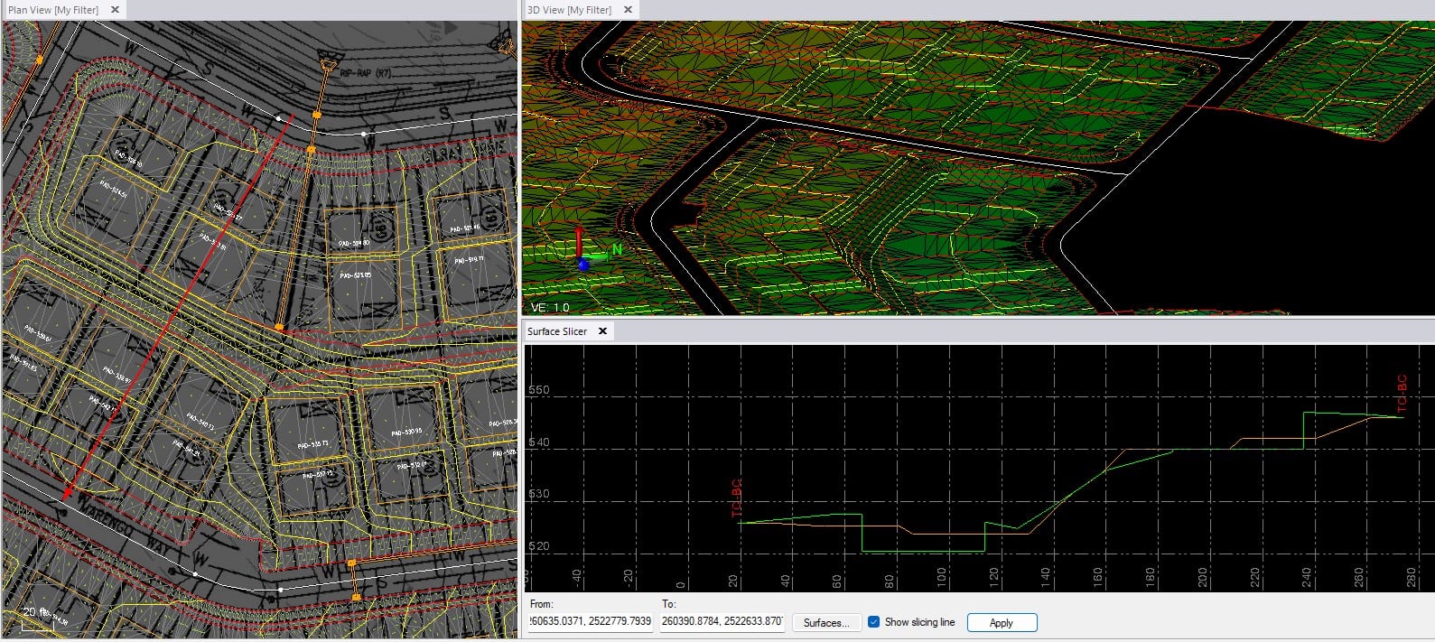
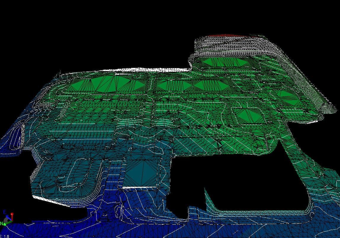
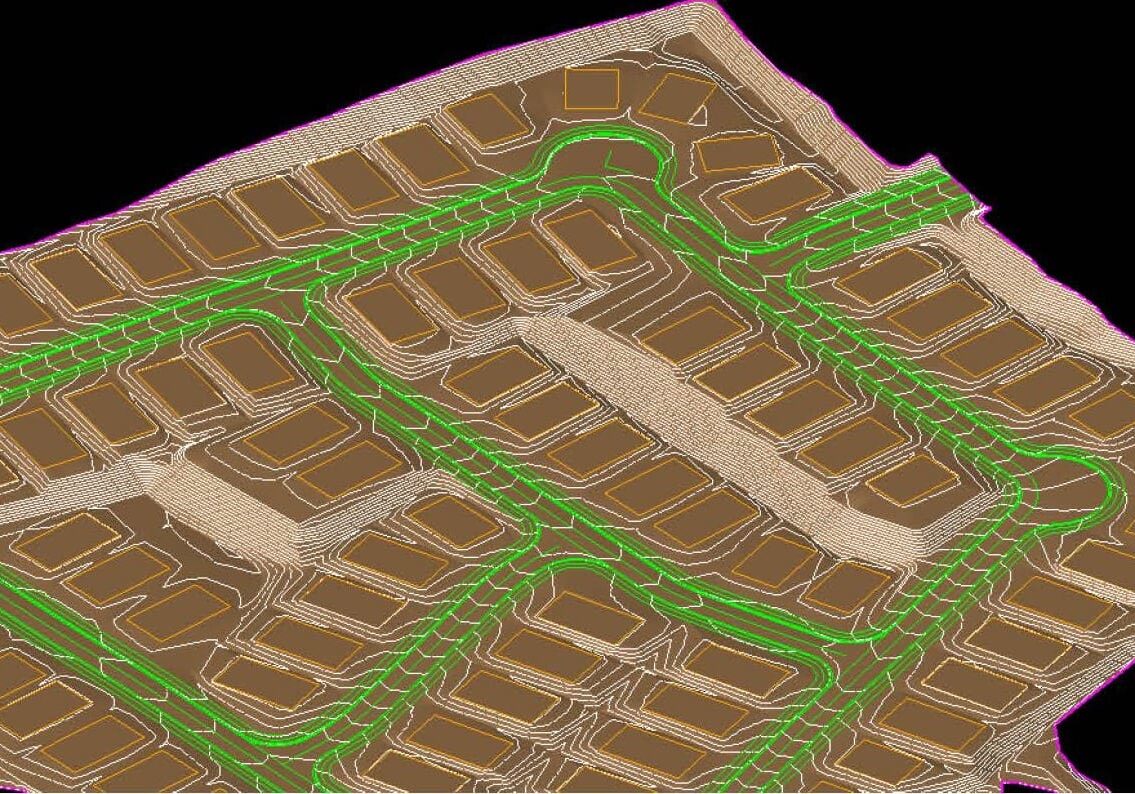
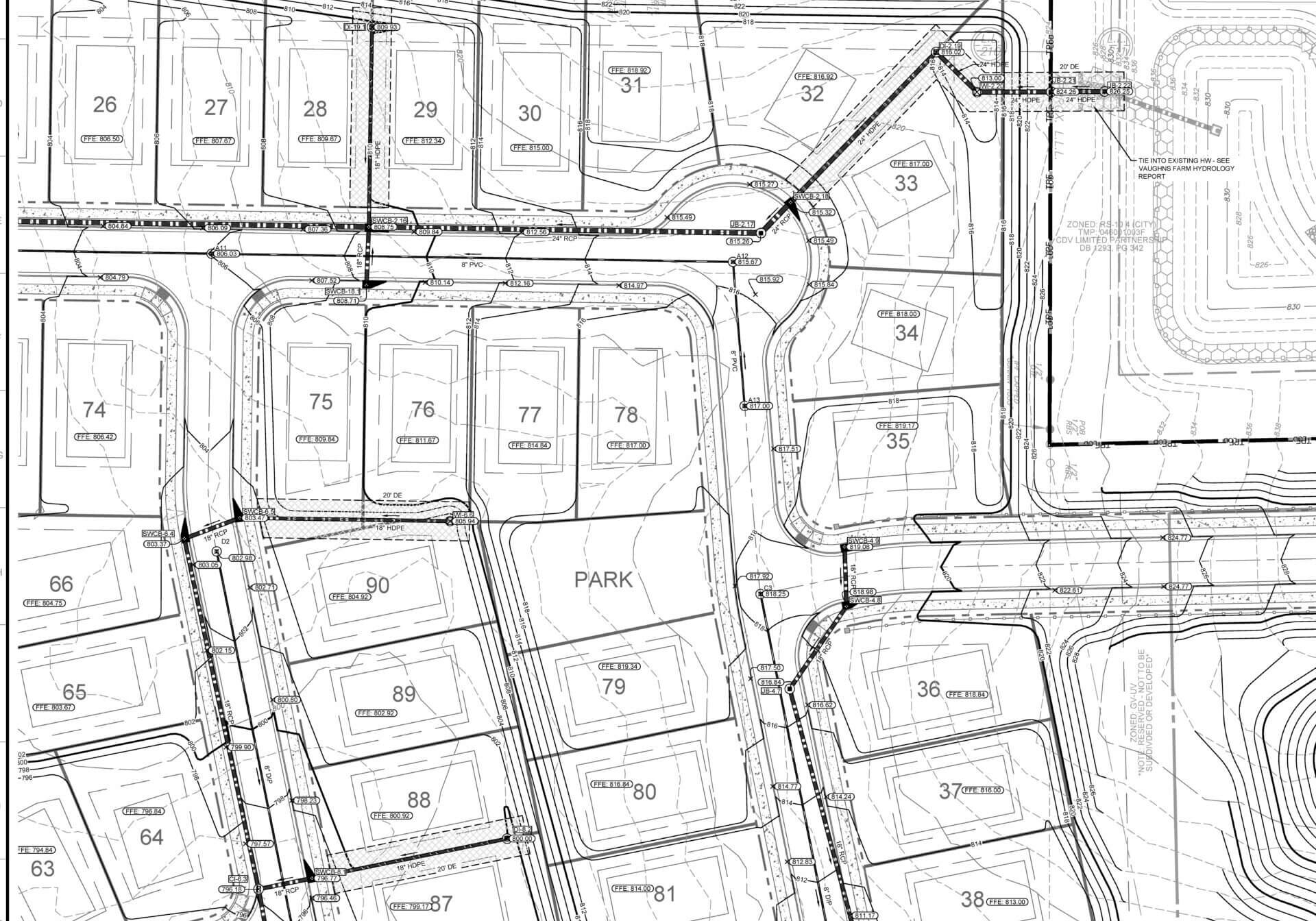
Miller's Point civil engineering 3D digital terrain surface model for machine control earthwork
Survey-Grade DTM Model
Miller's Pointe 3D Grading Surface
90-Lot Lennar Community · Zero Field Restake
PE Verified
±0.01 ft Surface Accuracy
Integrated Capabilities

Four Core Integrated Service Lines

Unlike commoditized data prep shops, MESH conducts comprehensive constructability reviews, interim grading analysis, and survey-grade 3D modeling on high-stakes infrastructure.

GPS Machine Control Modeling

Survey-quality 3D digital terrain models (DTMs) and TIN surfaces for contractors' automated earthmoving machinery. Tailored for residential subdivisions, commercial centers, data centers, and airport runways.

  • Full compatibility with Trimble, Topcon, and Leica ecosystems
  • Built from true 3D geometric alignments, never traced raw contours
  • Includes 3D utility trenches, curb line offsets, and basin models
Explore GPS Machine Control Modeling →

Construction Surveying

Seven dedicated field crews equipped with robotic total stations, multi-frequency GPS rovers, and survey drones operating throughout PA, DE, NJ, MD, and VA.

  • Perimeter control point establishment and critical baseline QC
  • Comprehensive stakeout: bridges, utilities, curbs, and building pads
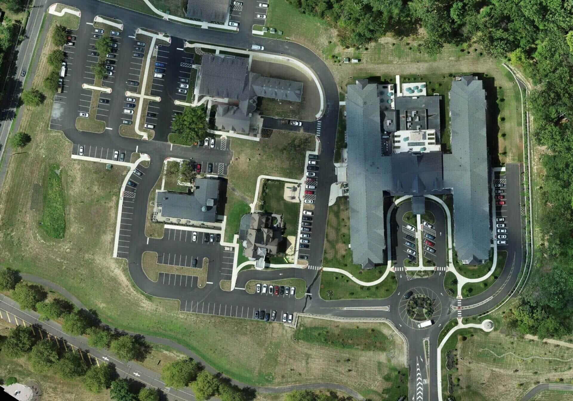
  • High-resolution RTK drone orthophoto topographic mapping and as-builts
Explore Construction Surveying →

Value Engineering & Constructability

Bridging the gap between design consultants and site contractors. Reviewing plans during approvals to cut millions of dollars in unnecessary cut/fill export, retain walls, and redesign delays.

  • Residential interim grading designs balancing lot basements on-lot
  • 3D concept grading and utility balancing before final engineering
  • Over 1,000 land development plans reviewed for constructability QC
Explore Value Engineering →

BIM Modeling & Utility Coordination

Specialized 3D BIM coordination focused exclusively on underground wet and dry civil site utilities. Eliminating subsurface spatial clashes before pipes arrive on site.

  • Dry utility models: electric, telecom, gas, and conduit banks
  • Wet utility models: sanitary, water mains, storm basins, and detention
  • Navisworks NWC/NWD deliverables and active weekly team coordination
Explore BIM Utility Coordination →
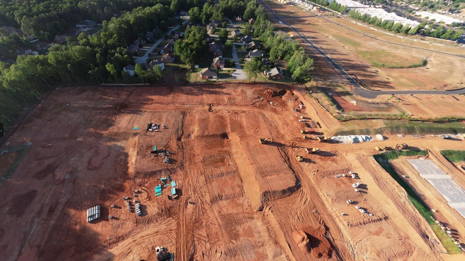
Automated heavy excavator equipped with MESH 3D GPS machine control grading model
Automated GPS 3D Excavator Grading on Heavy Civil Sitework
MESH Consulting field engineering office along Shipyard Drive riverfront Wilmington DE
Mid-Atlantic Engineering Office: 750 Shipyard Dr, Wilmington, DE
Editorial Case Study · Heavy / Highway Authority

Philadelphia International Airport: Runway 17-35 & Employee Parking Expansion

"After meeting with MESH and reviewing the progress on our models for the extension of Runway 17-35 and the Employee Parking Lot Expansion at the Philadelphia International Airport, I was thoroughly impressed with the level of detail. We have had great success on the parking lot and have complete confidence we will have the same results with the Runway extension. It was well worth the investment."

Joseph A. Scalfaro

Project Engineer · James J. Anderson Construction Co., Inc.

$100M+
Heavy / Highway Scope
100%
Machine Control Integration
0
Layout Rework Incidents
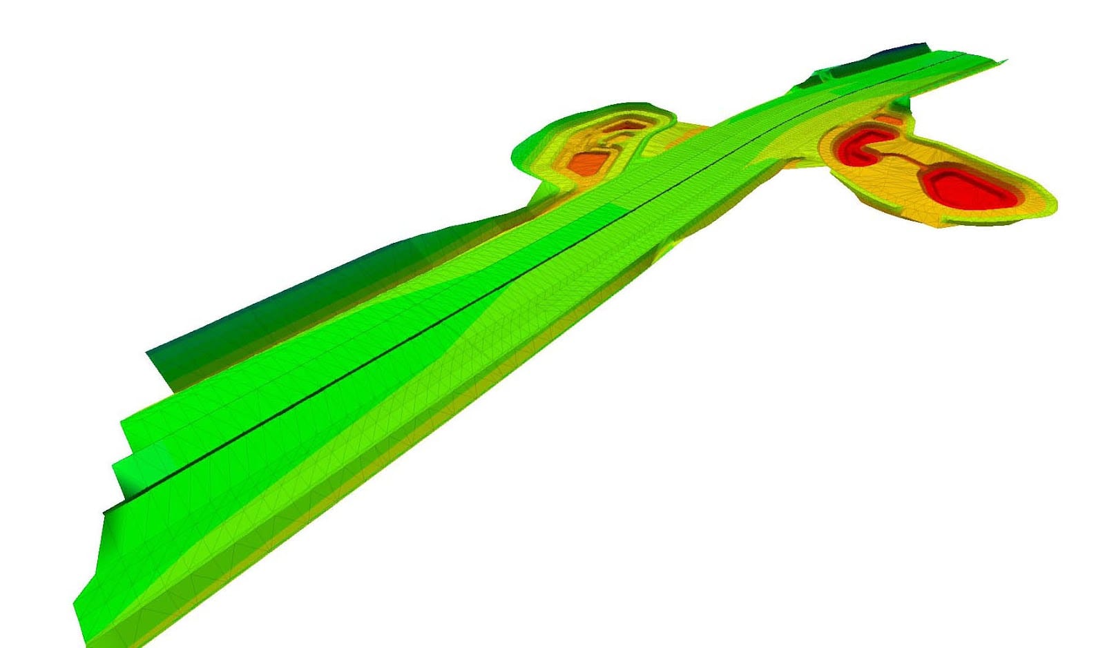
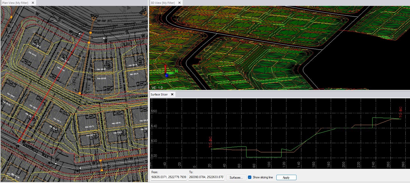
3D digital surface terrain model and machine control grading for airport heavy civil expansion
Subsurface Corridor Precision: Runway 17-35 Extension DTM surface model with tight paving grade tolerances.
Technical Rigor

The Survey-Quality Engineering Advantage

Why civil contractors rely on MESH's engineer-reviewed models: the mathematical logic chain that reduces survey layout expenses and prevents costly field busts.

01 →

Built from True Geometry

Raw CAD contours drawn by designers lack fine grading details for basins, curbs, and swales. MESH builds TIN models from true horizontal alignments and vertical profiles.

02 →

Single Unified Data Pipeline

Data is engineered once and shared simultaneously between GPS machine control dozers/graders and field rover stakeout, eliminating duplicate calculations.

03 →

Pre-Mobilization Conflict Resolution

Inconsistencies and geometric plan bugs are caught in our office with the civil design engineer before operators and heavy iron mobilize to the job site.

04 ✓

Accurate Quantities & Payment

Accurate control plus check shots delivers exact existing vs. proposed ground surfaces, ensuring contractors get paid for every cubic yard of dirt moved.

Field Footprint

Mid-Atlantic Field Reach & Hardware Compatibility

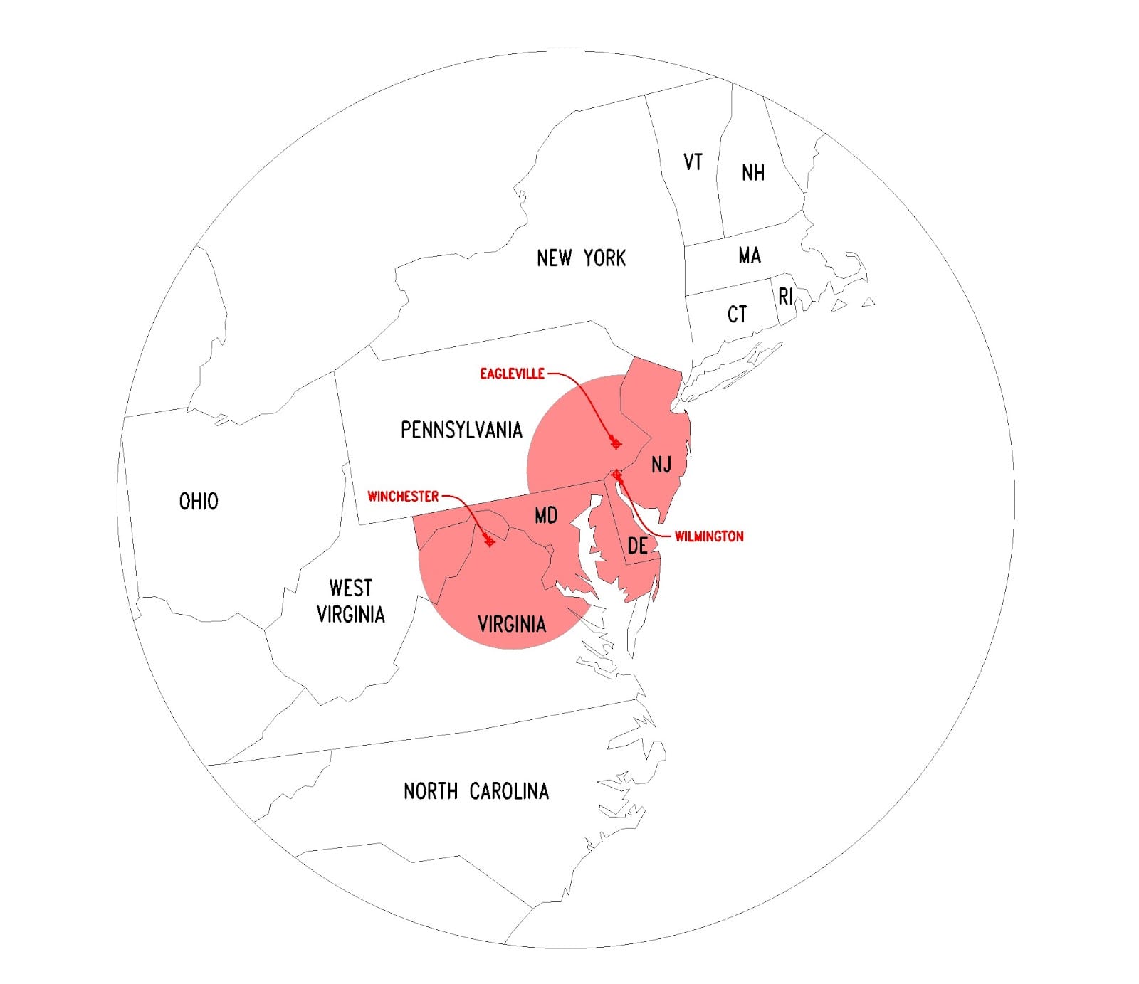
With 7 dedicated field survey crews operating daily, MESH provides prompt on-site technical support and layout services across five Mid-Atlantic states, while delivering virtual 3D machine control models nationwide.

Pennsylvania (Eastern & SE)
Delaware (Statewide)
New Jersey (South Jersey)
Maryland
Virginia (Northern VA)
Ecosystem Equipment Platform Deliverable Formats
Trimble Earthworks, GCS900, SCS900 .cal, .ttm, .dxf, .svd, .svl
Topcon 3D-MC, Pocket-3D, 3D-Office .gc3, .tn3, .ln3, .tp3
Leica Geosystems iCON 3D, MC1, Captivate .geo, .trf, .dxf, .xml
Civil BIM / CAD Autodesk Navisworks, Civil 3D .nwc, .nwd, .dwg, LandXML
Robotic total station and GPS surveying field transit deployed on Mid-Atlantic construction project
Survey Crew Mobilization: Precision Total Stations & RTK GPS Rovers
Engineering Governance

Partner Leadership & Engineering Governance

Founded in 2007, MESH is led by licensed professional civil engineers and veteran heavy/highway construction superintendents with over 100 years of combined field authority.

Stephen Thomas, PE - Managing Partner at MESH Consulting

Stephen (Steve) Thomas, PE

Managing Partner · Engineering & VE

Civil Engineering degree from Penn State. Licensed Professional Engineer in 8 states. Over 28 years bridging civil consulting and heavy contractor operations. Reviewed 1,000+ land development plans for constructability.

Penn State B.S. Civil Engineering · PE in 8 States
Stephen Narducci - Managing Partner at MESH Consulting

Stephen (Steve) Narducci

Managing Partner · Construction & GPS Operations

Over 35 years in heavy/highway civil construction, including 17 years on the Senior Management Team of a Top 50 contractor. Built and managed one of the largest GPS machine control programs in the nation.

35+ Years Heavy Highway Veteran · Top 50 Senior Leadership
Kenneth Herwig - Partner Survey and BIM at MESH Consulting

Kenneth (Ken) Herwig

Partner · Surveying & Civil BIM Lead

Rutgers University graduate directing 7 field survey crews and 4 office project engineers. Former project engineer and survey manager specializing in precision GPS dredging and marine infrastructure.

Rutgers University · Directs 7 Field Crews & 4 Office Engineers
Alexander Miller - Partner GPS Modeling at MESH Consulting

Alexander (Alex) Miller

Partner · GPS 3D Modeling Lead

Penn State Civil Engineering graduate with over 12 years at MESH. Oversees the 3D surface modeling department, authoring hundreds of machine control surface models annually for contractors nationwide.

Penn State B.S. Civil Engineering · 12+ Years at MESH
Heidi Thomas, LEED AP BD&C - Controller at MESH Consulting

Heidi Thomas, LEED AP BD&C

Controller · Corporate Governance

Penn State B.S. in Geo-Environmental Engineering and MBA from Temple University. Oversees corporate financial governance, organizational human resources, and business administration.

Temple MBA · Penn State Geo-Environmental · LEED AP
Direct Engineering Answers

Frequently Asked Technical Questions

Direct, factual answers regarding file delivery, hardware compatibility, tolerances, and engineer onboarding.

What makes MESH machine control models survey-quality compared to standard data prep shops?
Unlike commodity data prep shops that simply trace contour lines, MESH builds 3D models from true horizontal and vertical geometry. Every surface is authored and reviewed by licensed Professional Engineers, resolving plan discrepancies before machines mobilize to prevent field rework and restaking expenses.
Which GPS machine control equipment and file formats does MESH support?
MESH provides complete cross-platform compatibility for all major machine control ecosystems including Trimble (Earthworks, GCS900, SCS900, .cal, .ttm, .dxf), Topcon (3D-MC, Pocket-3D, .gc3, .tn3, .ln3), Leica (iCON, .geo, .trf), as well as standard LandXML, AutoCAD DWG, and MicroStation DGN files.
What is the typical turnaround time for a 3D site model?
Standard commercial and subdivision 3D machine control models are typically delivered within 5 to 7 business days following plan and CAD delivery. For high-priority mobilizations, emergency stakeout, or fast-track highway operations, expedited turnaround within 48 to 72 hours is available upon scheduling.
What information does MESH require from the design team to initiate a model?
To produce an engineer-verified model, MESH requests full CAD drawing files (AutoCAD .dwg or Civil 3D), approved civil design plan sheets in PDF (grading, drainage, utility, and geometry plans), and site coordinate control or project datum specifications.
How does MESH resolve underground civil utility clashes before trenching?
MESH builds federated 3D models of wet and dry utilities based on true invert elevations, pipe outer diameters, and trench specifications. Utilizing Autodesk Navisworks clash detection, we identify spatial conflicts against storm basins, foundations, and paving subgrades during weekly coordination meetings.
Where are MESH field survey crews deployed?
MESH deploys 7 dedicated field crews across Pennsylvania, Delaware, New Jersey, Maryland, and Northern Virginia from our offices in Eagleville, PA and Wilmington, DE. Our virtual engineering, 3D GPS modeling, and value engineering divisions support civil projects nationwide.
Project Mobilization

Start Your Project or Schedule a Field Crew

Speak directly with our managing partners and survey managers, upload your civil project CAD plans, or schedule a field crew for your site.

Wilmington, Delaware Office

750 Shipyard Dr, Ste 215
Wilmington, DE 19801

Direct Phone: (484) 754-3470
Hours: Monday – Friday: 8:00 AM – 4:00 PM (Closed Sat/Sun)

Eagleville, Pennsylvania Headquarters

2932 W. Germantown Pike
Eagleville, PA 19403

Direct Phone: (484) 754-3470
Corporate Email: info@mesh-consulting.com
Direct Staff Extensions:
Steve Thomas: Ext 102
Steve Narducci: Ext 101
Heidi Thomas: Ext 103
Ken Herwig: Ext 116
Alex Miller: Ext 110

Request a 3D Model Quote

Upload project plans or request a surveyor mobilization. An engineer will follow up within 1 business day.

CAD / Plan File Upload (Optional)
Click or drag CAD files (.dwg, .pdf, .zip, .xml)
Max 100MB · Confidential engineering review